Transportation Data Management


Copyright © All Rights Reserved - Perseus Associates, LLC
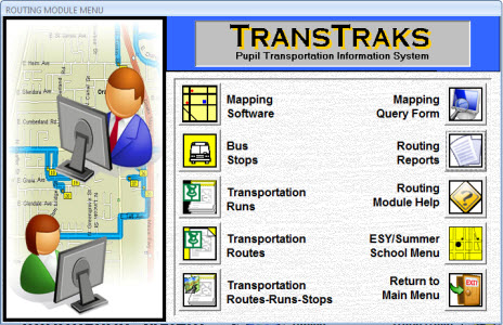
Routing Module
TransTraks believes that no computer can replace the human brain and the knowledge of your routers and dispatchers for their own community. Our approach is to assist your dispatch and routing staff by providing easy to use tools that help them do their jobs faster, easier and more effectively. Unlike other programs that promise that the computer can do it all, we know better. TransTraks creates a partnership with your staff and their knowledge of your community. The results are more accurate and efficient routes and runs that save your time and money.
ROUTING TOOLS
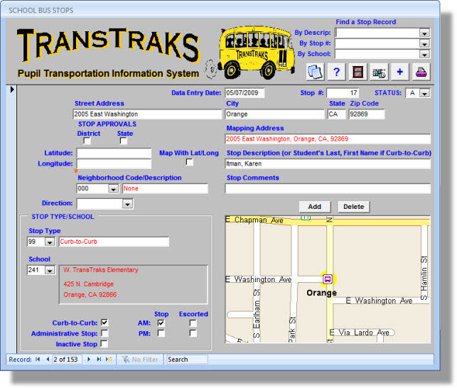
BUS STOPS FORM
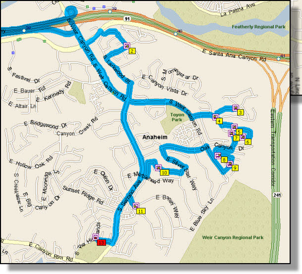
TransTraks builds your transportation system starting with your bus stops. The program is integrated with Microsoft’s MapPoint, resulting in a comprehensive, powerful, yet easy to use package that maps your stops, allows you to develop and optimize your runs and then combines them into routes. Microsoft generally updates in maps on a yearly basis, resulting in up-to-date streets and developments.
TransTraks is flexible, allowing your staff members to utilize their knowledge of your community’s traffic conditions and patterns to modify and alter suggested route mapping. You are in control of the final product!
Microsoft generally updates the maps yearly, resulting in
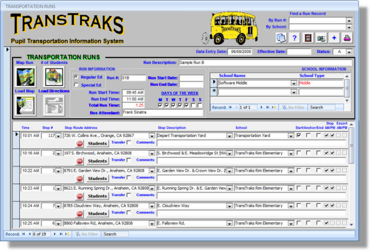
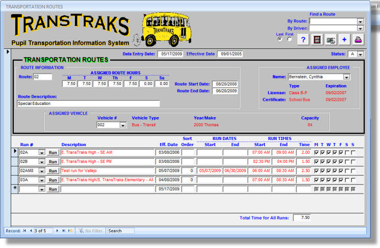
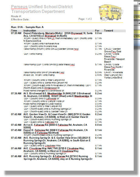
The Routing Module’s forms are powerful, yet easy to use. You can easily generate your route sheet directions for your driving staff. The assumption of the system is that one or more bus stops make up a run and one or more runs make up a route. You can cut many hours off of your run and route development times each year. You can even use TransTraks to map your school boundaries and walking distances and then perform what-if scenarios for changes to school boundaries and/or transportation walking distances.